Graduate Certificates
The Department of Geography offers graduate certificates in Atmospheric Sciences, Digital Geography and GIS, and Medical Geography.
Interested in a certificate?
Please read our frequently asked questions before you apply.
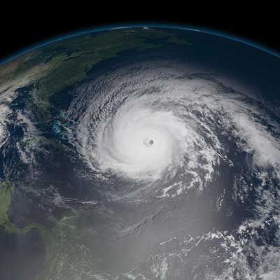
Atmospheric Sciences
Working knowledge of atmospheric processes across multiple spatial and temporal scales is essential for effective research across many disciplines. These courses emphasize an understanding of the atmosphere through visualization of data to aid students whose research involves meteorology or climatology.
Select three (3) courses from the following list with at least one (1) course from MET
(Must earn “B” or higher in each course)
Credit Hours: 3 | Prerequisite: Introductory weather and climate course taken as an undergrad.
Credit Hours: 3
Credit Hours: 3
Credit Hours: 3 | Prerequisite: Familiarity with basic meteorology.
Credit Hours: 3 | Prerequisite: Familiarity with basic meteorology.
Credit Hours: 3
Credit Hours: 3
Digital Geography and GIS
The demands for digital geographic data analysts have been increasing in both research and practice during the 21st century. This certificate trains graduate students with a variety of analytic methods and techniques for exploring geospatial datasets, such as Geographic Information Systems (GIS), remotely sensed image processing, and geo-visualization. Hands-on experience of geospatial data analysis are emphasized through lab-based applications.
Credits
A minimum of 11 credits (completed with an average above B-)
Required Courses
Credit Hours: 4 |
Credit Hours: 4 | Prerequisite: GEO 4120C
Electives (Choose One)
Credit Hours: 3 | Prerequisite: GEO 2200 or consent of instructor.
Credit Hours: 4 | Prerequisite: Graduate standing.
Credit Hours: 3 | Prerequisite: Entry level knowledge of statistics (GEO6160, or equivalent) or the consent of the instructor. Prior experiences with ArcGIS is preferred, but not required.
Credit Hours: 3 | Prerequisite: Entry level knowledge of both statistics (STA2023, GEO3162C/6160, or equivalent) and GIS (GIS3043/5107C or equivalent), or the consent of the instructor.

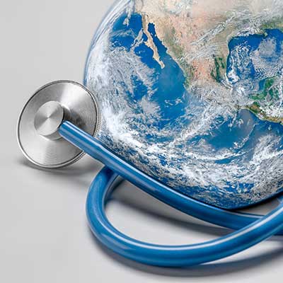
Medical Geography (Graduate)
The world faces a pressing need for geographic theories, methods, and techniques to address global health issues. The Medical Geography certificate provides training in spatial disease ecology, global health, and essential geostatistical approaches to public health. Hands-on experiences of geospatial analysis are emphasized through lab-based applications.
Credits
12 – 13 (Completed with minimum grades of B-)
Core Courses
Credit Hours: 3
Credit Hours: 3 | Prerequisite: GIS 3043 and Geography 6161C or equivalents or consent of instructor. Students from public health backgrounds may inquire about course equivalents.
Two (2) of the following techniques courses
Credit Hours: 3 | Prerequisite: Entry level knowledge of statistics (GEO6160, or equivalent) or the consent of the instructor. Prior experiences with ArcGIS is preferred, but not required.
Credit Hours: 3 |
Credit Hours: 3 | Prerequisite: GEO 4120C.
Credit Hours: 3 | Prerequisite: GEO 2200 or GEO 2242 or MET 1010 or permission of instructor.
Credit Hours: 3 | Prerequisite: GEO4167C/GEO6160, or equivalent and GIS3043/GIS5107C, or equivalent. Or permission of instructor.