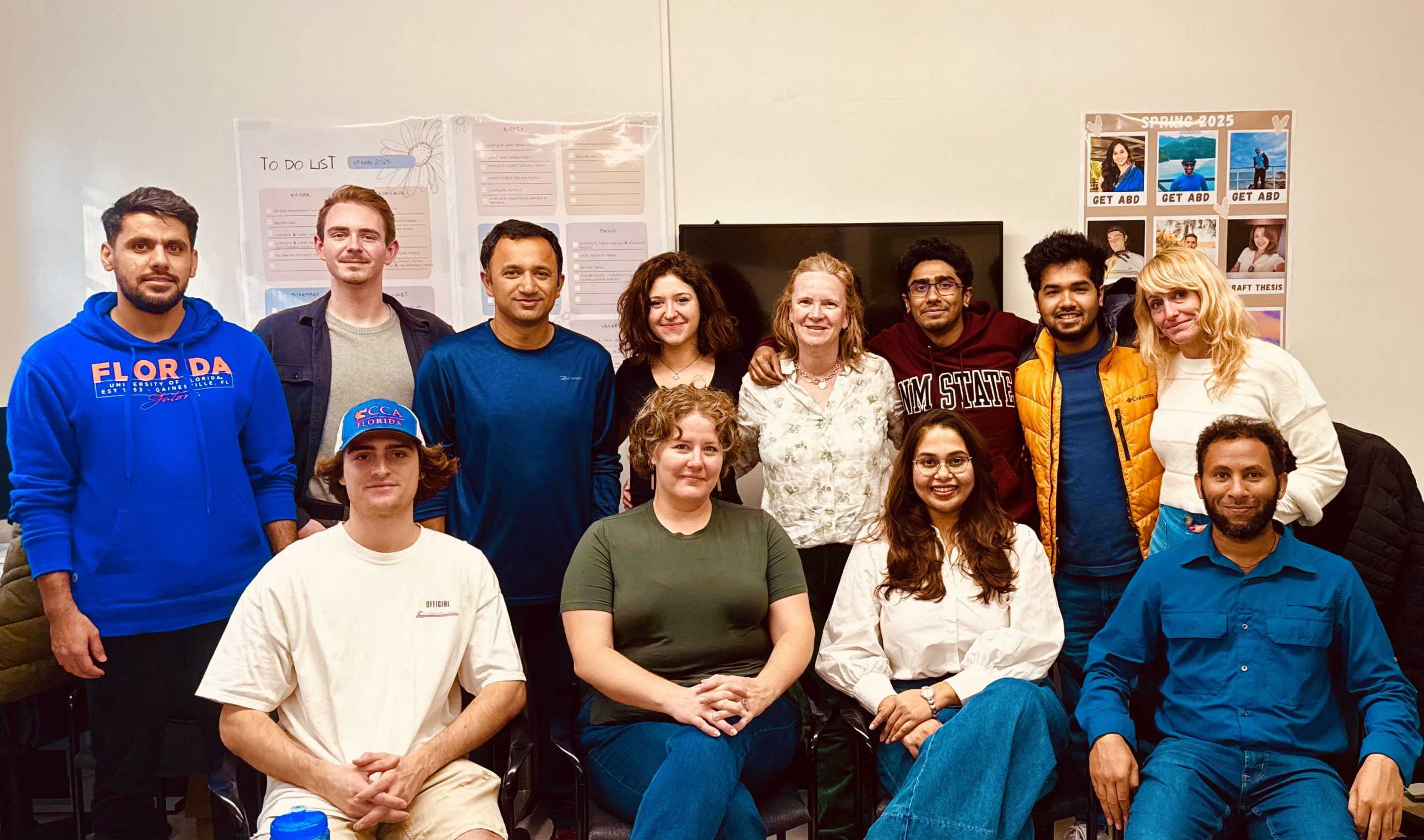
The NASA Lab centers around the science of remote sensing and land system science/land change science using Earth observations for interdisciplinary research focused on global environmental change and human-environment interactions. Dr. Southworth’s NASA lab consists of undergraduate, master’s students, doctoral students and post-docs.
The lab is run by Dr. Jane Southworth, Professor and Chair of the Dept of Geography at the University of Florida. It is located inside TUR1215 in Turlington Hall.
The lab uses earth observations and RS techniques & application, spatial analysis/statistics, and machine learning to analyze issues/problems including land use and land cover change, climate variability & change, agricultural productivity, food security, natural hazards, forest cover change, global vegetation dynamics, natural resource management and sustainability. The lab has published research articles on topics such as savanna ecosystems and vegetation dynamics in Africa.
The core focus of the NASA lab is monitoring global environmental change and its relationship with anthropogenic LULCC and climate change and increasing variability, and implications for environmental sustainability and human wellbeing. Dr. Southworth’s lab has historically consisted of a diverse group of students and post-doctoral researchers who originate from across the US and the world/international community who bring a broad range of backgrounds, interests, and skillsets.
Current Lab Members
Dr. Jane Southworth
My research interests are based on the study of human-environment interactions within the field of Land Change Science. All of my research is undertaken with highly interdisciplinary research teams which involve both social and physical scientists. It is this interdisciplinary focus on research problems that interests me and for which I was trained. Within such interdisciplinary teams my particular strengths lie in the remote sensing of time series analyses, machine learning and AI RS approaches, vegetation dynamics, land use, land cover change and land change modeling; the implications of scale and scaling in remote sensing and modeling analyses; people and parks; and modeling of the impacts of climate change on human-environment systems and vegetation dynamics.
- Mohammad Mehedy Hassan, Ikramul Hassan, Jane Southworth, Tatiana Loboda, 2022. Coupling field data and a remote sensing approach to mapping fire-impacted refugee camps. (2022). International Journal of Applied Earth Observation and Geoinformation, 115: 103120. https://doi.org/10.1016/j.jag.2022.103120
- Southworth, J., V. Seufert, K. Seto, and D.K. Munroe, 2022. Editorial Introduction: Women in Land Science. Journal of Land Use Science, 17 (1): 1-11.
- Tyler Schaper, Reza Khatami, Mohammad Mehedy Hassan, Gregory Glass, Jane Southworth, 2022. Monitoring Major Crop Coverage Change Trends in Agricultural in Florida. American Journal of Geographic Information System. 11(1): 23-31.
- Southworth, Jane and Muir, Carly, 2021. Specialty Grand Challenge: Remote Sensing Time Series Analysis. Frontiers in Remote Sensing, 2, https://doi.org/10.3389/frsen.2021.770431
- Xavier Haro-Carrión, Peter Waylen & Jane Southworth, 2021. Spatiotemporal changes in vegetation greenness across continental Ecuador: a Pacific-Andean- Amazonian gradient, 1982–2010, Journal of Land Use Science, 16 (1): 18-33.
- Muir, C., Southworth, J., Khatami, R., Herrero, H., and Akyapi, B., 2021. Vegetation Dynamics and Climatological Drivers in Ethiopia at the Turn of the Century. Remote Sensing, 13 (16): 3267, https://doi.org/10.3390/rs13163267
- Herrero, Hannah Victoria and Southworth, Jane, 2020. Special Issue on Dynamics of the Global Savanna and Grasslands Biomes. (2020). Applied Sciences. 10 (22), 8043. Editorial. https://doi.org/10.3390/app10228043
- Herrero, H. V., Southworth, J., Muir, C., Khatami, R., Bunting, E., and Child, B., 2020. An evaluation of vegetation persistence in and around southern African national parks during the 21st century. Applied Sciences, 10(7), 2366. Special Issue: Dynamics of the Global Savanna and Grasslands Biomes. https://doi.org/10.3390/app10072366
- Khatami, R., Southworth, J., Muir, C., Caughlin, T., Ayana, A., Brown, D.G., Liao, C., & Agrawal, A., 2020. Operational large-area land cover mapping: an Ethiopia case study. Remote Sensing, 12, 954. https://doi.org/10.3390/rs12060954
- Hassan, M. M., Ash, K., Abedin, J., Paul, B. K., & Southworth, J., 2020. A Quantitative Framework for Analyzing Spatial Dynamics of Flood Events: A Case Study of Super Cyclone Amphan. Remote Sensing, 12(20), 3454; https://doi.org/10.3390/rs12203454
- Khatami, R., Southworth, J., Muir, C., Caughlin, T., Ayana, A., Brown, D.G., Liao, C., Agrawal, A., 2020. Operational large-area land-cover mapping: Ethiopia case study. Remote Sensing, 12(6), 954; https://doi.org/10.3390/rs12060954
- Herrero, H., P. Waylen, J. Southworth, R. Khatami, D. Yang, and B. Child, 2020. A healthy park needs healthy vegetation: The story of Gorongosa National Park in the 21st century. Remote Sensing, 12(3), 476; https://doi.org/10.3390/rs12030476
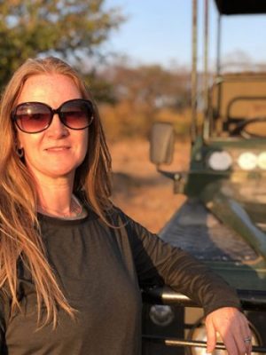
Anusha Chaudhary
I am Anusha Chaudhary, a Ph.D. student at the University of Florida. I have a Bachelor’s degree in Microbiology and a Master’s degree in Biodiversity and Conservation. In terms of work experience, I have worked extensively on land cover and land use mapping, spatiotemporal landscape analysis, socio-economic surveys, environmental impact assessment, and forestry auditing in different parts of India. Currently, my research interests are focused on applications of remote sensing and GIS techniques on the conservation of biodiversity and disease risk management. Specifically, I am interested in assessing the relationship between disease risk and urban areas, with a focus on evaluating the implication of land cover changes on the population at risk. Through my research, I hope to contribute to a better understanding of the complex interactions between the environment, human health, and disease transmission in urban areas.
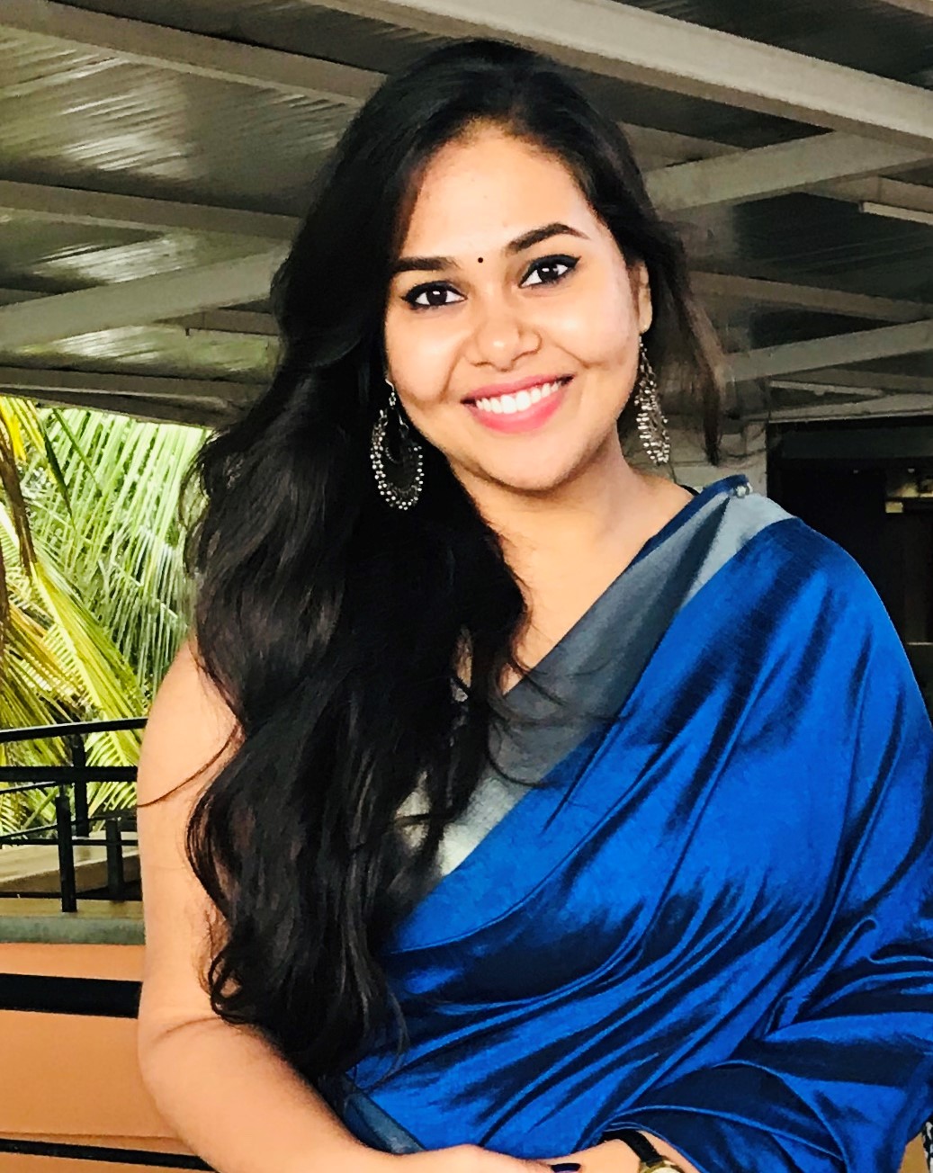
Torit Chakraborty
I am Torit Chakraborty, a Ph.D. student in the Department of Geography at the University of Florida. I hold a Master’s degree in Applied Geography from New Mexico State University, where I specialized in GeoAI-based remote sensing applications. I earned my undergraduate degree in Urban and Rural Planning from Khulna University, Bangladesh. My current research focuses on developing and assessing GeoAI-based frameworks to address pressing environmental challenges in areas such as natural hazards, environmental change dynamics, LULC, agriculture, and climate science. My primary goal is to develop analytical frameworks using integrated advanced deep learning techniques with cloud computing to provide actionable insights into these critical issues.
Beyond academia, I love to travel a lot and also enjoy hiking and snorkeling, exploring the beauty and diversity of our landscape and culture.
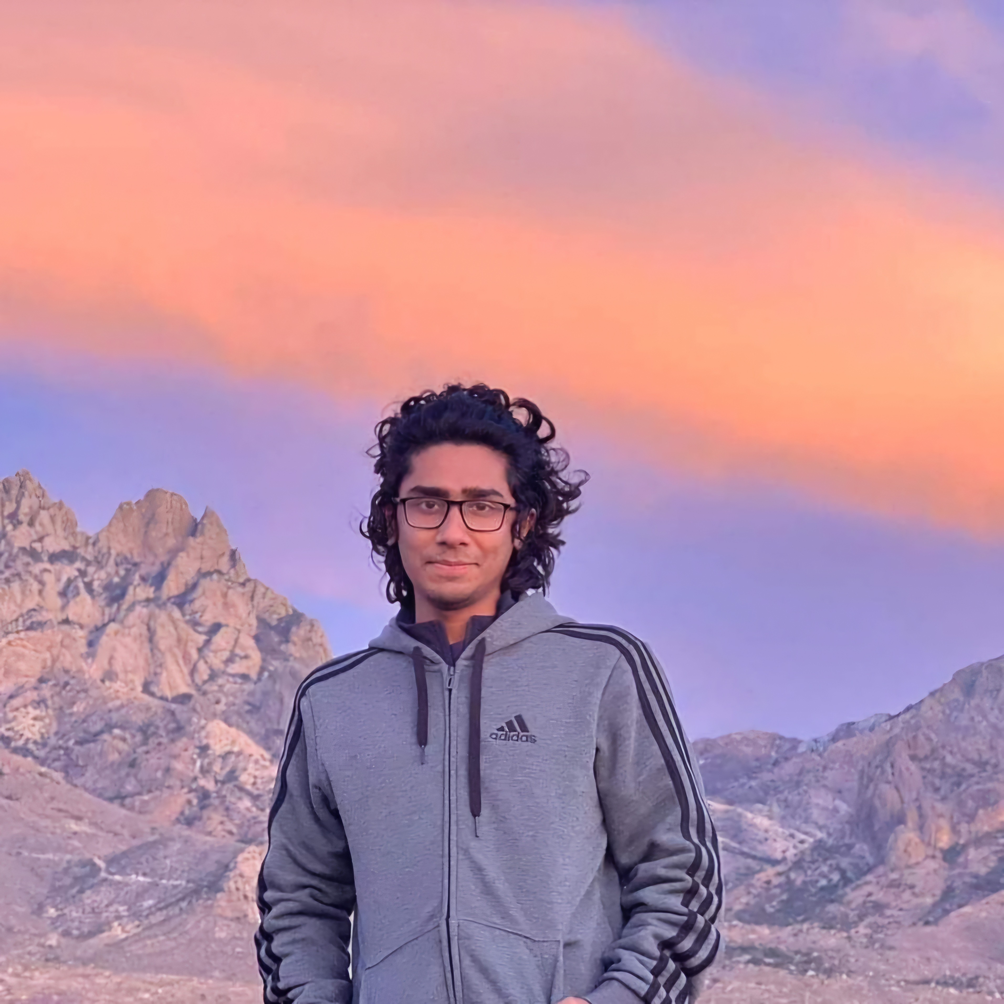
Audrey Culver Smith
Audrey is a PhD candidate who also completed her master’s degree in the UF Dept of Geography with Dr. Jane Southworth as her advisor. Her master’s research combined remote sensing time series analysis and georeferenced household survey data to examine environmental change and undernutrition in Zambia. She holds a BA in Anthropology with minors in Geography and African Studies from UF and worked in public health and community development in the US and East Africa before returning for graduate studies. Audrey’s dissertation research examines the social and ecological impacts of large-scale land acquisitions in Ethiopia and Tanzania using remote sensing, spatial analysis, and mixed methods approaches, with a focus on land use/land cover change, biodiversity, ecosystem services, and rural livelihoods and food security. Audrey currently is the student director of the Natural Resource Management and Sustainable Savannas Initiative in Africa working group- an interdisciplinary group of UF students and faculty sponsored by the UF Center for African Studies.
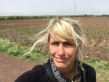
Yu (Vera) Tian
My research interests focus on the science of ecologically oriented geography in response to sustainability goals, with a particular interest in urban energy systems and urban vegetation systems. I study the ways remote sensing and GIS modeling are used for the generation of applicable urban ecological data, and I also develop life cycle assessments to access environmental impacts associated with the stages of a sustainable system, an environmental policy, or a green product. I earned a B.S. degree in chemical engineering from the University of Virginia and a M.E.S. degree in environmental sustainability from the University of Pennsylvania. I am currently a third-year Ph.D. student from the School of Natural Resources and Environment in the University of Florida, majoring in interdisciplinary ecology with a concentration in geography. My research background and interests also include fossil fuel distribution, sustainable construction, and urban geography in general.
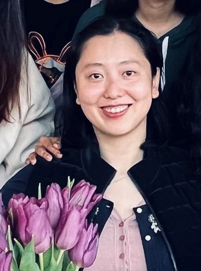
Muyeed Hasan
I am Md. Muyeed Hasan, a Ph.D. student at the Department of Geography, University of Florida. I have completed my B.Sc. and M.Sc. degrees from the Department of Geography and Environmental Studies, University of Rajshahi, Bangladesh. Since 2011, I have served as a faculty member in the Department of Geography and Environment, Shahjalal University of Science and Technology, Sylhet, Bangladesh.
My research interest areas are Geospatial Analysis, Ecosystem and Biodiversity, Sustainable Development, Environmental Pollution, and Impact Assessment. I like to demonstrate various laboratory experiments and fieldwork with different risk assessments and problem-solving techniques.
I have completed several research projects in Bangladesh based on ecological imbalance, ecological footprint, and environmental analysis. The main goal was to find out the complex relationship between LULC, environmental components change, and livelihood patterns of humans.
My future goal is to complete my Ph.D. and later post-doc. I want to have competent knowledge in research, laboratory analysis, fieldwork, technical, communication, and leadership skills to explore the various Island wetland ecosystems worldwide to achieve sustainable development goals.
I served in various administrative posts and environmental, cultural, and sports organizations during my student life and teaching period. I like to play soccer, watch movies, cycle, travel, and cook.
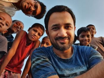
Bewuket Tefera
I am a first-year Ph.D. student at the University of Florida Department of Geography. I have a master’s degree in Hydrology and Water Resources from UNESCO Delft- IHE, Delft, The Netherlands, and BSc in Agricultural Engineering and Mechanization at Hawassa University in Ethiopia. My research interest is in human-environment interactions in land change and Geospatial Science: Remote Sensing, Land Use Land Cover, Hydrological Sciences, and Spatial Sciences (machine and deep learning).
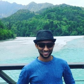
Mohammad Safaei
I am a first year PhD student at the Department of Geography at the University of Florida. I have a master’s degree in remote sensing and GIS from Kharazmi University, Iran, and a bachelor’s degree in Natural Resources Engineering from Yazd University, Iran. My research is primarily focused on applying geospatial, statistical and machine learning techniques to study the effects of climate change on vegetated systems, species distribution modeling, and land use/land cover change.
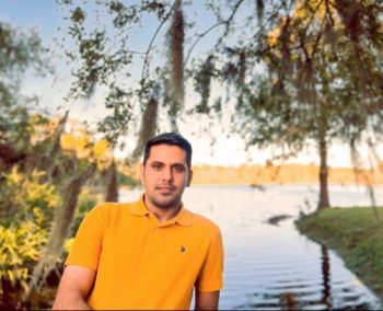
Jessica Striley
Jessica’s research examines the complex interactions of social-ecological systems in post-colonial conservation landscapes in southern Africa. Her master’s work compares user-defined, rule-based classification algorithms with machine learning techniques to analyze land cover change in complex savanna ecosystems, particularly in Niassa Special Reserve, Mozambique. She integrates remote sensing, ecological data, and community insights to holistically assess vegetation health and resilience within broader social systems. Her goal is to provide actionable data to support decision-makers—from local communities to international policymakers—ensuring that both people and wild ecosystems can thrive. This ecological assessment contributes to a larger, transdisciplinary analysis of community-based natural resource management (CBNRM), integrating economic, ecological, social, and governance data under Dr. Brian Child’s mentorship. Jessica will graduate with her master’s degree in 2025 and plans to pursue a PhD. She earned a bachelor’s degree in Anthropology from Missouri State University in 2009, served in the U.S. Peace Corps in Senegal (2011–2013), and spent a decade in scientific publishing before finding her place in UF Geography.
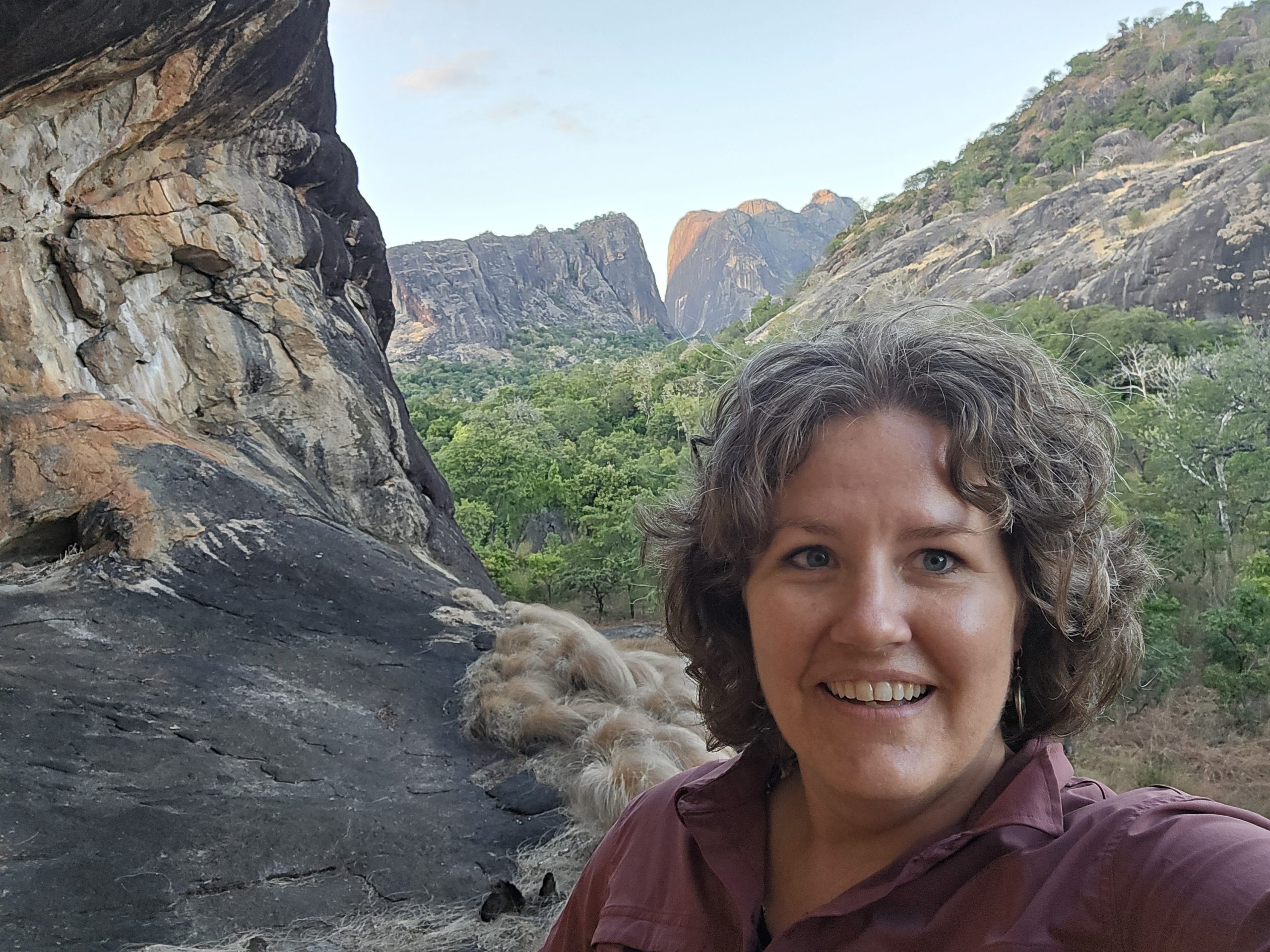
Mashoukur Rahaman
I have a strong interest in using geospatial data science, remote sensing, and machine learning to address important questions concerning agriculture, environmental risks, and urban dynamics. Frequently, I use programming languages and GIS software to support geospatial and data science tasks, including the analysis, modeling, and visualization of various types of data. I have studied include vegetation change detection and prediction using machine learning, Land use changes regarding tornadoes or cyclones, air pollution and landslide vulnerability zone detection using different machine learning algorithms. Currently, I’m working on deep learning algorithms that can be used to predict crop yield changes.
Educational Background: B.S. in Urban and Regional Planning, Khulna University of Engineering & Technology, 2020.
Mason Theurer
I am Mason Theurer, an M.S. student in the Geography Department at the University of Florida. I obtained my B.S. in Geosciences with a Geography focus at Florida Atlantic University. My research interests are based on land-use and land-cover change analysis, particularly in Florida, using GIS techniques and spatial science to model specific land-cover types, and how they are shifting. I investigate this in the context of conservation lands and established wildlife corridors. This includes quantitatively assessing landscape structure and describing it through the lens of landscape ecology, using metrics and statistics derived from remotely sensed data.
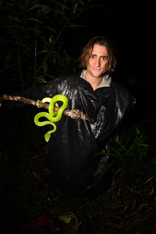
Patrick Gawienczuk
I am Patrick Gawienczuk, a B.A. student in Geography and Economics at the University of Florida, with a strong focus on leveraging artificial intelligence and remote sensing to address environmental challenges. My research explores the use of machine learning techniques, such as Random Forest classification, to analyze the impact of precipitation patterns on shrubland expansion in Namibia. Through my recent experience as a Research and Outreach Surveyor with the Namibian Chamber of the Environment, I conducted fieldwork across rural communities, engaging directly with indigenous conservancy groups to explore alternative collaboration frameworks with NGOs. I also assessed the environmental and economic impacts of drought by interviewing farm households and evaluating climate-driven diversification strategies. As a NASA Lab Undergraduate Researcher, I utilize programs such as Google Earth Engine to analyze satellite imagery and assess land cover changes, contributing to data-driven solutions for sustainable land management. My goal is to advance the application of AI and geospatial technologies to support environmental resilience and policy development in vulnerable ecosystems.
Former lab members
Graduated Doctoral Students
- Graduated Spring 2023.
- Researcher, William and Mary
- https://www.researchgate.net/profile/Carly-Muir
- Graduated Spring 2022.
- Lecturer, SNRE, University of Florida
- https://snre.ifas.ufl.edu/people/faculty-staff-and-administration/good/
- Graduated Spring 2022.
- Postdoc at University of Michigan
- https://www.coexistencegroup.com/people.html
- https://www.researchgate.net/profile/Leandra-Merz
- Graduated Summer 2021.
- Postdoc, Stanford
- https://scholar.google.com/citations?user=4cxbjzIAAAAJ&hl=en
- Graduated Summer 2019.
- Assistant Professor, Macalester University
- https://www.macalester.edu/geography/facultystaff/xavier-haro-carrion/
- https://xavierhc.weebly.com/
- Graduated Summer 2019.
- Assistant Professor, University of Kuwait
- https://scholar.google.com/citations?user=4SCb85EAAAAJ&hl=en
- Graduated Summer 2019.
- Assistant Professor, University of Tennessee
- https://geography.utk.edu/about-us/faculty/dr-hannah-herrero/
- https://www.researchgate.net/profile/Hannah-Herrero
- Graduated Spring 2018.
- Assistant Professor, Namik Kemai University, Turkey
- http://fened-c-en.web.nku.edu.tr/Personel/0/s/4812/5047
- https://www.researchgate.net/profile/Mehmet-Ozdes-2
- Graduated December 2015.
- Associate Professor, University of Louisville
- https://louisville.edu/geogeo/our-people/profiles/forrest-r-stevens-ph-d
- https://scholar.google.com/citations?user=L_YiAkgAAAAJ&hl=en
- Graduated Summer 2014.
- Assistant Professor and Director of Remote Sensing Institute, Michigan State University
- https://geo.msu.edu/directory/bunting-erin.html
- https://scholar.google.com/citations?user=qClqu8EAAAAJ&hl=en
- Graduated Summer 2014. Co-Chair with Dr. Brian Child.
- Senior Ecologist, The Wilderness Society
- https://www.wilderness.org/about-us/tim-fullman-phd
- https://www.researchgate.net/profile/Timothy-Fullman
- Graduated Summer 2014.
- Senior Enterprise Fellow, University of Southampton
- https://www.southampton.ac.uk/people/5xf866/doctor-jessica-steele
- https://www.researchgate.net/scientific-contributions/Jessica-E-Steele-2143568041
- Graduated Summer 2014.
- Associate Professor, Linyi University, China
- https://scholar.google.com/citations?user=B8UnCHMAAAAJ&hl=en
- Graduated Summer 2013.
- Professor, Institute of Agricultural Resource and Regional Planning, Chinese Academy of Agricultural Sciences, Beijing, China
- https://www.researchgate.net/profile/Jing-Sun-46
- Graduated Fall 2012.
- Associate Professor & Chair, University of Kuwait
- https://www.researchgate.net/profile/Muhammad-Almatar
- Graduated Fall 2012.
- Faculty member, NCH University, Taiwan
- https://www.researchgate.net/profile/Huiping-Tsai
- Graduated Spring 2011.
- Associate Professor, University of Colorado, Colorado Springs
- https://ges.uccs.edu/cerian_gibbes
- Graduated Spring 2011.
- Associate Professor, University of California, Northridge
- https://www.csun.edu/social-behavioral-sciences/geography/sanchayeeta-adhikari
- Graduated Fall 2010.
- Assistant Professor, University of Delaware
- https://www.udel.edu/academics/colleges/ceoe/departments/gss/faculty/pinki-mondal/
- https://scholar.google.com/citations?user=PnouwuQAAAAJ&hl=en
- Graduated December 2009.
- Scientist, Earth Innovation Institute
- https://earthinnovation.org/about/eii-staff/4
- https://www.researchgate.net/profile/Claudia-Stickler
- Graduated Summer 2009.
- Research Scientist, Health Outcomes and Biomedical Informatics, University of Florida
- https://hobi.med.ufl.edu/profile/hall-jaclyn/
- Graduated Summer 2009.
- Research Scientist
- Graduated Fall 2008 (Co-Chair with Dr. Peter Waylen)
- Data Management Analyst, UF Health
- https://scholar.google.com/citations?user=ANZWueQAAAAJ&hl=en
- https://www.researchgate.net/profile/Matthew-Marsik
- Graduated Fall 2007 (Co-Chair with Dr. Abe Goldman)
- Professor & Director of MENV Program, University of Colorado, Boulder
- https://www.colorado.edu/envs/joel-hartter
- https://jhartter.weebly.com/
GRADUATED Masters Students
- Graduated Spring 2021.
- Works in Foreign Affairs, US Government
- https://www.linkedin.com/in/tyler-schaper-27043388
- Graduated Spring 2017.
- Continued on to PhD [see above]
- Graduated Spring 2015.
- Continued on to PhD [see above]
- Graduated Fall 2009.
- Continued on to PhD at Duke University
- Country Director, Wildlife Conservation Society, Argentina
- https://scholar.google.com/citations?user=6yRjqVsAAAAJ&hl=en
- https://ar.linkedin.com/in/mariano-gonzalez-roglich-8a061913
- Graduated Spring 2009.
- Continued on to PhD [see above]
- Graduated Spring 2008.
- Continued on to PhD [see above]
- Graduated Fall 2006.
- Continued on to PhD [see above]
- Graduated Spring 2006.
- Geospatial Analyst, US Department of Defense
- https://www.linkedin.com/in/robert-lopez-5422164a
Post-Docs and Visiting Fellows
- Served as an external member of his PhD committee at University of Miami, and now his remote sensing mentor in his postdoctoral position with Drs. Scott Brown and Jose Szapocznick, both from the University of Miami
- https://people.miami.edu/profile/j.dewald@umiami.edu
- https://scholar.google.com/citations?user=AqLLGboAAAAJ&hl=en
- Postdoctoral scholar, working on time series analysis, machine learning and advanced classification approaches. Jan 2021 – current
- https://scholar.google.com/citations?user=4cxbjzIAAAAJ&hl=en
- Postdoctoral scholar, working on time series analysis, land cover change and land transactions in Ethiopia and Florida agricultural analysis. Jan 2017 – Jan 2021
- https://scholar.google.com/citations?user=ksex1GgAAAAJ&hl=en
- Visiting Scholar, China. Worked on remote sending techniques and machine learning, 2016-2017
- Post-doc on the SEED Grant from the Informatics Institute on Health Climate and Land. 2014-2015.
- Research scholar at the Okavango Research Institute, University of Botswana and independent consultant. Post-doc (25% time) on NASA Project 2009-2013
- Visiting Scholar to my lab, from Lanzhou University, China. Major: Cartography and Geographic Information System. Graduation Date: Summer, 2011.
- Visiting Scholar, Department of Geography, University of Florida, Gainesville, FL (Feb-Oct 2010), and Postdoctoral Fellow, Percy Fitz Patrick Institute, University of Cape Town, South Africa. Advisors: G. Cumming, S. Perz, and J. Southworth. Project: NSF grant: Infrastructure change, human agency, and resilience in social-ecological systems.
Key terms
agriculture, big data, climate change, climate variability, cloud computing, Deep learning, ecosystem services, food and nutrition security, food security, global environmental change, hazards, human vulnerability and resilience, human-environment interactions, interdisciplinary, land change science, land system science, machine learning, natural disasters, natural resource management, remote sensing, risks, savanna ecosystems, Spatial Analysis, spatial statistics, sustainability, time-series analysis