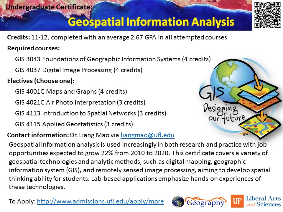
Undergrad Certificate: Geospatial Information Analysis
Geospatial information analysis is used increasingly in both research and practice with job opportunities expected to grow 22% from 2010 to 2020. This certificate covers a variety of geospatial technologies and analytic methods, such as digital mapping, geographic information system (GIS), and remotely sensed image processing, aiming to develop spatial thinking ability for students. Lab-based […]
Read more "Undergrad Certificate: Geospatial Information Analysis"
