University of Florida Homepage

Undergrad Certificate: Geospatial Information Analysis

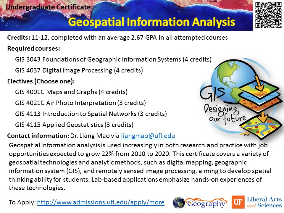
Geospatial information analysis is used increasingly in both research and practice with job opportunities expected to grow 22% from 2010 to 2020. This certificate covers a variety of geospatial technologies and analytic methods, such as digital mapping, geographic information system (GIS), and remotely sensed image processing, aiming to develop spatial thinking ability for students. Lab-based […]

Graduate Certificate: Digital Geography and GIS

The demands for digital geographic data analysts have been increasing in both research and practice during the 21st century. This certificate trains graduate students with a variety of analytic methods and techniques for exploring geospatial datasets, such as Geographic Information System (GIS), remotely sensed image processing, and geo-visualization. Hands-on experiences of geospatial data analysis are […]

Fall Course: GIS3043 Foundations of Geographic Information Systems – GIS5107C: Geographic Information Systems in Research

This course is designed for students with no prior Geographic Information Systems experience. It involves both a weekly theoretical lecture and a computer lab session where hands-on experience of using GIS software allows you to reinforce knowledge gained during the lectures. What you will learn: -Basic concepts, theories, and operations in GIS; -Hands-on experiences of […]

Fall Course: GEO3452 GEO6421 Medical Geography

This course provides a comprehensive survey of geographic topics and approaches in medical sciences, including: human ecology of diseases, research methods, geospatial techniques, landscape epidemiology, weather and climate, pollution issues, urban health, administration and planning, etc. What you will learn: -Basic concepts, principles, and methods that are widely used in medical geography studies; -A variety […]