University of Florida Homepage

Video – Anderson Lecture: A Cultural Ecology of the Anthropocene – Reflecting on the Joint Trajectories of Anthropology and Geography

Anderson Lecture: A Cultural Ecology of the Anthropocene – Reflecting on the Joint Trajectories of Anthropology and Geography For those of you who were unable to attend the 2017 Anderson Lecture with Dr. Eduardo S. Brondizio, the video is now available!

Certificate in Meteorology and Climatology

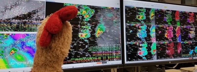
Supplement your major with an understanding of the atmosphere and awareness of the societal impacts of natural hazards and climate change. The certificate is designed for students seeking employment as climatologists, broadcast meteorologists, water district managers, those interested in environmental issues, to prepare for graduate studies, or those who just love the weather.

Undergrad Certificate: Geospatial Information Analysis

Geospatial information analysis is used increasingly in both research and practice with job opportunities expected to grow 22% from 2010 to 2020. This certificate covers a variety of geospatial technologies and analytic methods, such as digital mapping, geographic information system (GIS), and remotely sensed image processing, aiming to develop spatial thinking ability for students. Lab-based […]

Graduate Certificate: Digital Geography and GIS

The demands for digital geographic data analysts have been increasing in both research and practice during the 21st century. This certificate trains graduate students with a variety of analytic methods and techniques for exploring geospatial datasets, such as Geographic Information System (GIS), remotely sensed image processing, and geo-visualization. Hands-on experiences of geospatial data analysis are […]

Fall Course: GIS3043 Foundations of Geographic Information Systems – GIS5107C: Geographic Information Systems in Research

This course is designed for students with no prior Geographic Information Systems experience. It involves both a weekly theoretical lecture and a computer lab session where hands-on experience of using GIS software allows you to reinforce knowledge gained during the lectures. What you will learn: -Basic concepts, theories, and operations in GIS; -Hands-on experiences of […]