In a recent study published in Remote Sensing, researchers from the University of Florida’s Department of Geography have taken a big step forward in showing how artificial intelligence (AI) can help us better understand the changing landscape of agriculture.
The work, led by Ph.D. student Mashoukur Rahaman, with co-authors Dr. Jane Southworth, Dr. Yixin Wen, and Dr. David Keellings, explores how different types of AI models can be used to map almond farms from space.
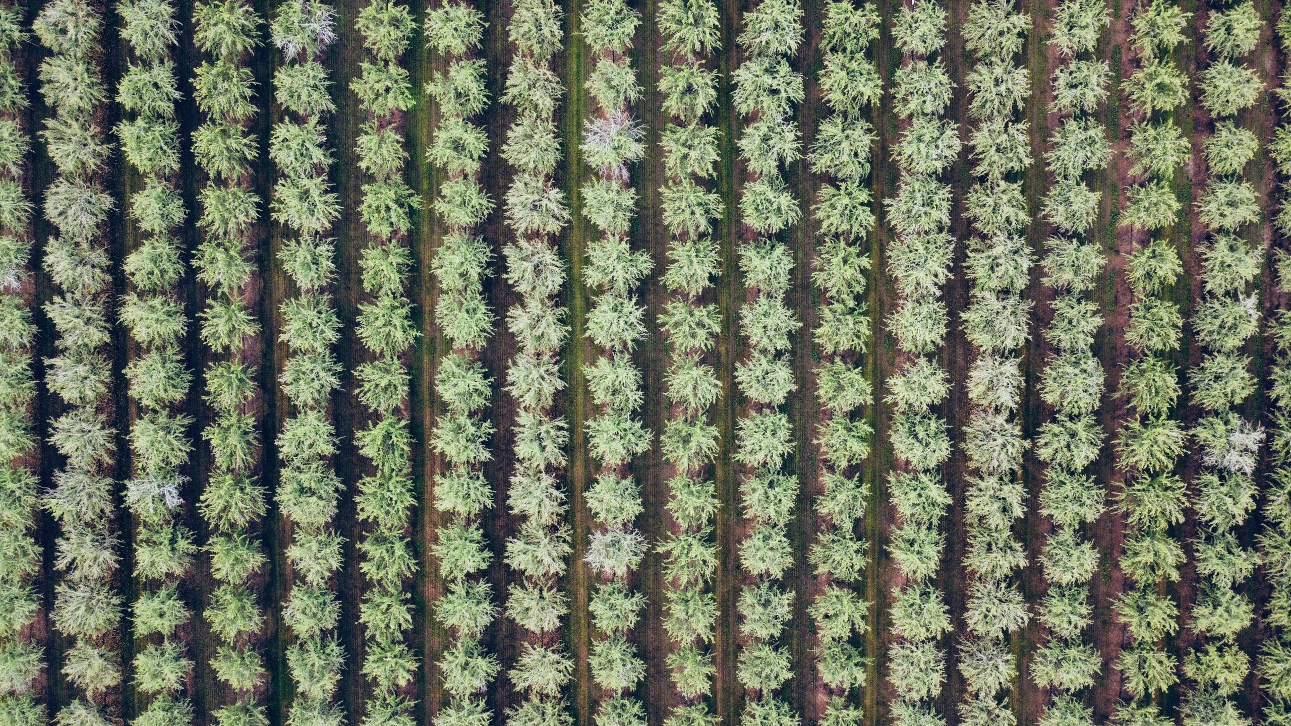
Almonds are big business in California’s Central Valley, a region that produces more than 80% of the world’s almonds. But tracking how almond farming has expanded over time—and doing it accurately—is no easy task.
That’s where satellite images come in. Using data from NASA’s Landsat satellites between 2008 and 2022, the UF team tested 20 different AI models to see how well they could detect almond orchards.
The researchers wanted to know: Do we really need the most complex, high-powered AI tools to get the best results? Or can simpler methods still get the job done well—especially when time, data, or computer power is limited?
They found that while cutting-edge deep learning models like DeepLabv3+ gave the most accurate results, more traditional models like Random Forest weren’t far behind. In fact, the simpler models performed nearly as well but required much less computing time and training data. This kind of insight is especially important for researchers or organizations that may not have access to supercomputers or large labeled datasets.
Although the study focused on almond crops, its impact goes far beyond that. The findings help scientists, environmental agencies, and even farmers decide which AI tools make the most sense for their needs—balancing accuracy with practicality.
“This work shows how we can use satellite data and artificial intelligence to support real-world decisions,” said Dr. Jane Southworth, who leads UF’s NASA GEOAI Lab. “It’s not just about finding the best model—it’s about finding the right model for the job.”
This research is part of a growing effort at UF to combine geography, satellite technology, and AI to tackle global challenges in agriculture, land use, and environmental change.
Rahaman, M., Southworth, J., Wen, Y., & Keellings, D. (2025). Assessing model trade-offs in agricultural remote sensing: A review of machine learning and deep learning approaches using almond crop mapping. Remote Sensing, 17(15), 2670.