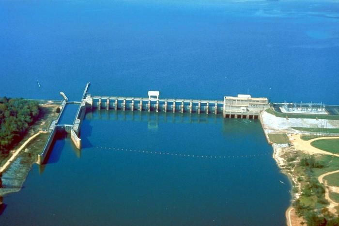
U.S. Army Corps of Engineers / U.S. Army Corps of Engineers Digital Visual Library / Wikimedia Commons
AMANAMBU, MOSSA, CHEN, ALRUZUQ – Damming consequences: Quantifying the effects on channel geometry and floodplain inundation
Amobichukwu C. Amanambu, Joan Mossa, Yin-Hsuen Chen, Matthew Deitch, Ali Alruzuq
Article first published online: 8 November 2023
DOI: https://doi.org/10.1016/j.catena.2023.107634
ABSTRACT: Dams have a profound effect on floodplain inundation and channel geometry. Still, few studies have analyzed detailed channel geometry changes, especially as they affect downstream floodplain inundation on large rivers. This research compared the Apalachicola River depths and floodplain inundation downstream of the Jim Woodruff Dam between early and late post-dam periods. We used hydrographic data for 1960 and 2010 collected by the U.S. Army Corps of Engineers. A ≤1.2 point/m2 LiDAR point cloud covering the entire floodplain was fused with the hydrographic data. After a forward and inverse transformation between coordinate systems, the combined data was converted into a riverbed digital elevation model (DEM). River geometric properties were calculated (Area, channel width, mean depth, thalweg elevation, and width-to-mean-depth ratio) for 1960 and 2010. Daily discharge and stage data (1928–2020) were collected for Chattahoochee and Blountstown gauge stations. Eleven flows, between the 10th and 99th percentile extracted from the daily flow duration curve for early and late post-dam periods, were used in a 2D hydrodynamic model, Hydrologic Engineering Center’s River Analysis System (HEC-RAS) to simulate floodplain inundation. The result reveals that the riverbed degraded by about 1.5 m near the dam. Geometric changes between early and late post-dam periods include upper reaches deepening and narrowing (mean depth changed from ∼6.0 to ∼7.3 m with a consistent width), while the lower reach exhibited shallowing and widening (mean depth went from ∼6.0 m to ∼5.0 m). The channel area generally increased between the periods. Inundation depth was reduced by ∼1.0 m, for most flow categories, and decreased by 15 % from 1960 to 2010 for similar flows between the periods, particularly for the upper and middle reaches. Floodplain inundation extent deacreased by about 24.1 % for flow of ∼513 m3/s. The inundation decreases was partly due to alteration in geometric properties. This study highlights the need for comprehensive river morphology assessments to address human-induced degradation, changing inundation patterns, and their global implications in similar riverine ecosystems.
Read the full publication in CATENA.