MATYAS – Evaluation of Experimental High-Resolution Model Forecasts of Tropical Cyclone Precipitation Using Object-Based Metrics
Shakira D. Stackhouse, Stephanie E. Zick, Corene J. Matyas, Kimberly M. Wood, Andrew T. Hazelton, and Ghassan J. Alaka Jr.
Article first published online: 1 October 2023
DOI: https://doi.org/10.1175/WAF-D-22-0223.1
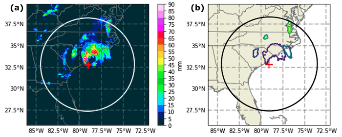
ABSTRACT: Tropical cyclone (TC) precipitation poses serious hazards including freshwater flooding. High-resolution hurricane models predict the location and intensity of TC rainfall, which can influence local evacuation and preparedness policies. This study evaluates 0–72-h precipitation forecasts from two experimental models, the Hurricane Analysis and Forecast System (HAFS) model and the basin-scale Hurricane Weather Research and Forecasting (HWRF-B) Model, for 2020 North Atlantic landfalling TCs. We use an object-based method that quantifies the shape and size of the forecast and observed precipitation. Precipitation objects are then compared for light, moderate, and heavy precipitation using spatial metrics (e.g., area, perimeter, elongation). Results show that both models forecast precipitation that is too connected, too close to the TC center, and too enclosed around the TC center. Collectively, these spatial biases suggest that the model forecasts are too intense even though there is a negative intensity bias for both models, indicating there may be an inconsistency between the precipitation configuration and the maximum sustained winds in the model forecasts. The HAFS model struggles with forecasting stratiform versus convective precipitation and with the representation of lighter (stratiform) precipitation during the first 6 h after initialization. No such spinup issues are seen in the HWRF-B forecasts, which instead exhibit systematic biases at all lead times and systematic issues across all rain-rate thresholds. Future work will investigate spinup issues in the HAFS model forecast and how the microphysics parameterization affects the representation of precipitation in both models.
Read the full publication in Weather and Forecasting.