MET4410 Radar and Satellite Meteorology
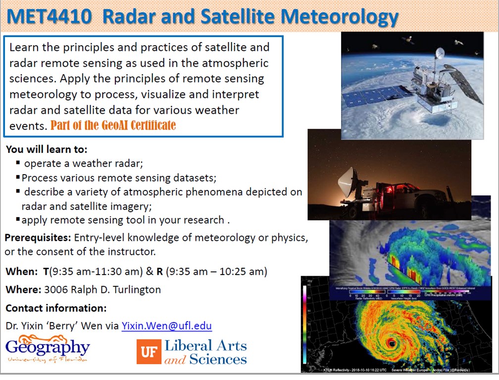
Learn the principles and practices of satellite and radar remote sensing as used in the atmospheric sciences. Apply the principles of remote sensing meteorology to process, visualize and interpret radar and satellite data for various weather events. Part of the GeoAI Certificate
You will learn to:
* operate a weather radar;
* Process various remote sensing datasets;
* describe a variety of atmospheric phenomena depicted on radar and satellite imagery;
* apply remote sensing tool in your research.
Prerequisites: Entry-level knowledge of meteorology or physics, or the consent of the instructor.
When: T(9:35-11:30 am) & R(9:35 am – 10:25 am)
Where: 3006 Ralph D. Turlington
Contact information:
Dr. Yixin ‘Berry’ Wen via Yixin.Wen@ufl.edu