SERAFIN – Compound Flooding in a Subtropical Estuary Caused by Hurricane Irma 2017
Braulio Juárez, Savanna A. Stockton, Katherine A. Serafin, Arnoldo Valle-Levinson
Article first published online: 12 September 2022
DOI: https://doi.org/10.1029/2022GL099360
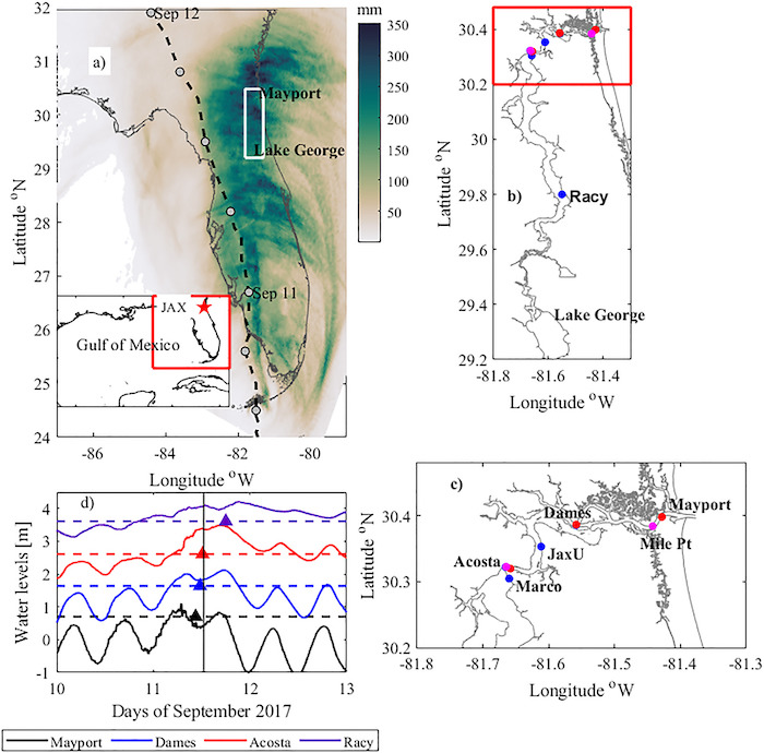
ABSTRACT: Hurricane Irma affected the Florida peninsula from 10 to 12 September 2017. The peninsula’s east coast was hit hardest: the city of Jacksonville flooded around the St. Johns River estuary with storm surge that exceeded 1.5 m and rainfall that surpassed 20 cm in 24 hr. This study used observations such as water and wind velocities, river discharge, and salinity data to determine whether compounding forcings influenced flood levels. Results show that flooding was initiated by the ocean (first punch) and then exacerbated by river discharge (second punch). The 1–2 punch from the ocean and then the river caused record flooding, with impacts lasting through September. Peak storm surge occurred while winds were receding, and river discharge was increasing, rather than at the peak of either process. Compound flood models should consider the phase lag between driving processes, as the individual maxima may not occur simultaneously, yet still exacerbate flooding.
Read the full publication at Geophysical Research Letters.