MAO – Modeling transit-assisted hurricane evacuation through socio-spatial networks
Yan Yang, Sara Metcalf, & Liang Mao
Article first published online: 02 Oct 2020 International Journal of Geographical Information Science
DOI: 10.1080/13658816.2020.1828590
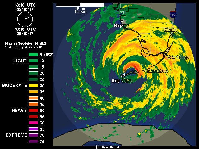
ABSTRACT: Increasing intensity and frequency of hurricane events underscores the need for efficient and inclusive evacuation plans, particularly for carless and disabled populations. Hurricane evacuation intrinsically involves both social and spatial processes. People’s decision to evacuate spreads over social networks; once their decisions are made, they flee through spatial transportation networks. This article describes a novel effort to integrate socio-spatial networks into an agent-based evacuation simulation model, taking the Florida Keys in the USA as a study area. In the model, households, as agents, were synthesized from Census data, then connected by a ‘home-workplace-neighborhood’ social network, and registered to a spatial road network. A threshold decision model was used to simulate social contagion of households’ decision to evacuate. The resulting travel demands were input into the TRANSIMS platform to generate on-road traffic. The model analyzed scenarios of automobile-only and public transit-assisted evacuation. The results show that the simulated traffic under the automobile-only scenario aligns with the observed traffic dynamics, which validates our socio-spatially integrated model. Adding public transportation capacity significantly reduces the traffic load and evacuation time, and provides a practical, accessible, and equitable route to safety for low mobility populations.
Read the full publication at International Journal of Geographical Information Science