Dr. Matthew Marsik
LUECI Faculty Researcher
Areas of Specialization
- Environmental modeling
- Spatial and temporal complexity of coupled human-environment systems
- Land cover change dynamics
- Landscape fragmentation
- Hydrology and climate variability
- Ecosystem services
- Remote sensing
- GIS
- Geospatial statistics
- Web-based mapping
Educational Background
- PhD in Geography, Universiy of Florida, 2008
- M.S. in Geography, Universiy of Florida, 2003
- B.S. in Geography, Universiy of Florida, 2000
Recent Publications
Marsik, M., Waylen, P.R, and Quesada, M. (forthcoming) Chapter 19: Changing Discharge Contributions to the Río Grande de Tárcoles. in Monitoring and Modelling Dynamic Environments. Eds. Alan P Dykes, M. Mulligan and J. Wainwright. Wiley-Blackwell.
J.E. Toft, J.L. Burke, M.P. Carey, C.K. Kim, G. Spiridonov, M. Marsik and D. Sutherland, K.K. Arkema, A.D. Guerry, P.S. Levin, T.J. Minello, M. Plummer, M.H. Ruckelshaus, and H.M. Townsend,. 2013. From mountains to sound: Modeling the sensitivity of Dungeness crab and Pacific oyster to land-sea interactions in Hood Canal, WA. ICES Journal of Marine Science. doi:10.1093/icesjms/fst072
Stephen G Perz, Y. Qiu, Y. Xia, J. Southworth, J. Sun, M. Marsik, K. Rocha, V. Passos, D. Rojas, G. Alarcon, G. Barnes, C. Baraloto. 2013. Trans-boundary Infrastructure and Land Cover Change: Highway Paving and Community-level Deforestation in a Tri-national Frontier in the Amazon. Land Use Policy 34:27-41
Quesada, M, Marsik, M. 2012. Uso de modelos de elevación digital como alternativa para mostrar errores en mapas topográficos. Revista Geográfica de América Central. 48:77-94
Cumming G.S., Southworth J., Rondon X.J., Marsik M. 2012. Spatial complexity in fragmenting Amazonian rainforests: Do feedbacks from edge effects push forests towards an ecological threshold? Ecological Complexity 11:67-74
Guerry, AD, MH Ruckelshaus, K Arkema, JR Bernhardt, G Guannel, CK Kim, M Marsik, M Papenfus, JE Toft, G Verutes, SA Wood, M Beck, F Chan, KMA Chan, G Gelfenbaum, BD Gold, BS Halpern, WB Labiosa, SE Lester, PS Levin, M McField, ML Pinsky, M Plummer, S Polasky, P Ruggiero, DA Sutherland, H Tallis, A Day, J Spencer. 2012. Modelling Benefits from Nature: Using ecosystem services to inform coastal and marine spatial planning. International Journal of Biodiversity Science, Ecosystem Services & Management. 1-15, DOI:10.1080/21513732.2011.647835
Southworth J., Marsik M., Qiu Y., Perz S., Cumming G., Stevens F., Rocha K., Duchelle A., Barnes G. Roads as Drivers of Change: Trajectories across the Tri‑National Frontier in MAP, the Southwestern Amazon. Remote Sensing. 2011; 3(5):1047-1066
Marsik, M., Stevens, F., and Southworth, J.. 2011. Amazon Deforestation: Patterns and Rates of Land Cover Change in Pando, northern Bolivia from 1986 to 2005. Progress in Physical Geography 35(3):353-374
In My Own Words
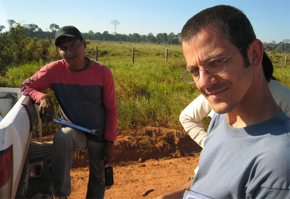
A physical geographer by training, specializing in land change science and geospatial sciences, I develop hypotheses and toolsets to investigate questions regarding natural resource conservation and management. Reflecting my personal passions and broader goals of academia I ask the question, “how can we best use geospatial science to better manage critical natural resources?” My research is necessarily integrative and multidisciplinary, providing me with a network of colleagues in which I conduct collaborative research on land cover change; watershed hydrology; climate variability; ecosystem services; remote sensing techniques; geospatial analyses; geostatistical methods; and web-mapping.
I have conducted individual and collaborative in diverse environments such marine waters, upland urban and forested watersheds of Puget Sound and the Pacific coast of Washington; tropical montane watersheds of Costa Rica; Amazonian tri-national frontier of Brazil, Peru and Bolivia; the southeastern coastal plain of the US; and the forested mountains of Pacific Northwest.