
Geo6938 Geospatial Modeling Fall 2019
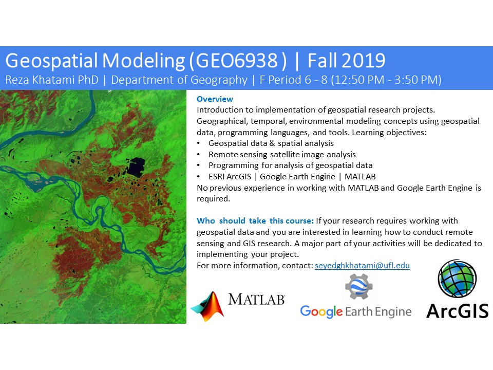
Geo6938 Geospatial Modeling Fall 2019
Overview
Introduction to implementation of geospatial research projects. Geographical, temporal, environmental modeling concepts using geospatial data, programming languages, and tools. Learning objectives:
- Geospatial data & spatial analysis
- Remote sensing satellite image analysis
- Programming for analysis of geospatial data
- ESRI ArcGIS | Google Earth Engine | MATLAB
No previous experience in working with MATLAB and Google Earth Engine is required.
Who should take this course: If your research requires working with geospatial data and you are interested in learning how to conduct remote sensing and GIS research. A major part of your activities will be dedicated to implementing your project.
For more information, contact: seyedghkhatami@ufl.edu