Course description
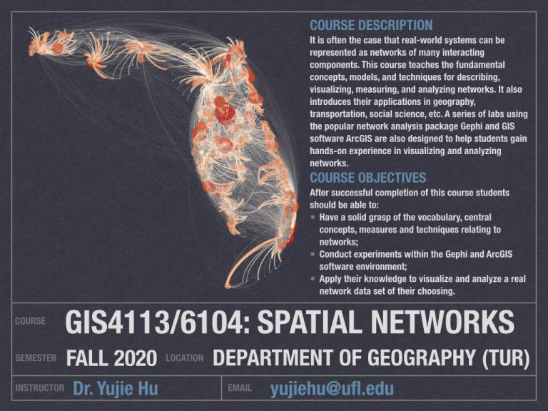
It is often the case that real-world systems can be represented as networks of many interacting components. This course teaches the fundamental concepts, models, and techniques for describing, visualizing, measuring, and analyzing networks. It also introduces their applications in geography, transportation, social science, etc. A series of labs using the popular network analysis package Gephi and GIS software ArcGIS are also designed to help students gain hands-on experience in visualizing and analyzing networks.
Course Objectives
After successful completion of this course students should be able to:
- Have a solid grasp of the vocabulary, central concepts, measures and techniques relating to networks;
- Conduct experiments within the Gephi and ArcGIS software environment;
- Apply their knowledge to visualize and analyze a real network data set of their choosing.
Dr. Yujie Hu – yujiehu@ufl.edu